1 April 2014:
Heavy rain and flooding reported in parts of Cape Town. (Note: Click on images for larger view.)
Rob Byrne
Cape Town - #NOTE N1 Inbound (Update), Accident and Flooding before M5 Koeberg Interchange - heavy queue from Plattekloof Road
Cape Town - M3 Inbound, #Flooding near Paradise Motors - left lane closed - expect delays
2 April 2014:
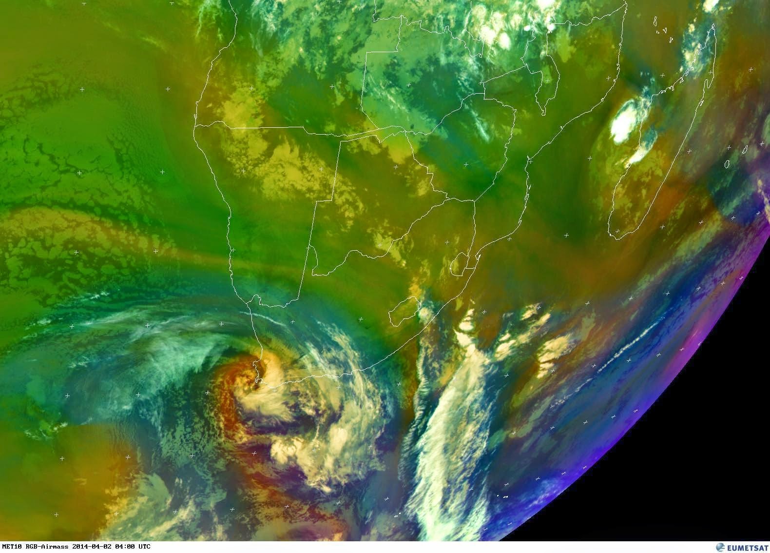
No warning was issued by the SA Weather Service on the 2 April 2014 regarding this event and this is actually the day when this system turned into an intense severe weather event.
What looked like a ordinary cold front changed into a intense system on the 2 April 2014 bringing with it cold weather, heavy rain, flooding, snowfall, hail, thunderstorms, gale force wind and severe weather.
An intense thunderstorm just missed Mossel Bay on the 2 April 2014 after moving offshore. We were lucky that this storm moved offshore. I have not seen such a storm in the 20 years that I have been living in Mossel Bay.
Gale force wind cause damage to infrastructure in Darling, Western Cape. Roofs were blown off and trees were uprooted. John Duckitt describe it as a "tornado" but looking at the damage it would appear to have been a straight line wind or possible up-draught. Images courtecy John Duckitt (Facebook)
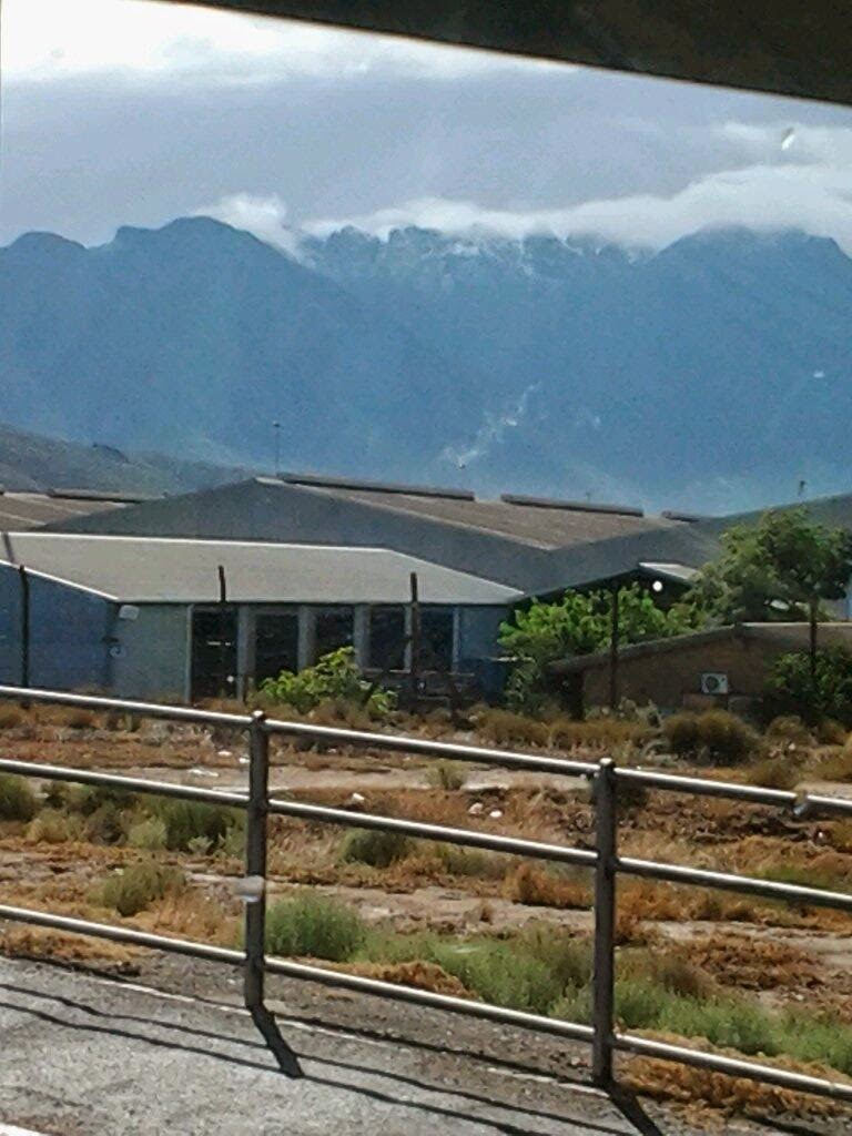
Snowreport.co.za report snowfall on the Matroosberg Mountains near Ceres. This is unusual for this time of year however snowfall has been reported in December in the past. Early start to winter?
Other reports of snowfall:
Snow Report SA
The first snow of the season has fallen! Come find out where at SnowReport! :D http://snowreport.co.za
Snow Report SA
Yay! The first SNOW of the season happened yesterday in Matroosberg Western Cape! :D http://bit.ly/1mLZse6 pic.twitter.com/fbXlYuXvNn
Proof of snow! :) "@FrancoisDyk: @IanBredenkamp sneeu op Ceres se Matroosberg. pic.twitter.com/YDz9oAMI7U”
We have had snow on the
mountains in Worcester in April! The skies have cleared and the stars
are sparkling in the crisp cold air!
Hail fell in parts of East London on the 2 April 2014:
Teresa Goddard shared Caroline De Bruin's photo.
Hail in East Londen tonight
Petro Engelbrecht I lived in East London for 35 years and never seen hail in EL. OMW never to old to see something like that
Hail was also observed in the Houtbay area.
3 April 2014:
It is still raining over large parts of the Southern Cape and Eastern Cape this morning.
Further rain is expected this morning in these parts of the country.
Rainfall recorded for this event ranged from 10 - 60 mm.
This custom GFS chart shows disturbance in the 500hPa temperature at 06Z on Wed 2nd (about 10C below the seasonal average) and how intense the cold snap was. (Stormchasing SA)
4 April 2014:
1mm or rain recorded at Heiderand, Mossel Bay ( Period 3 - 4 April 08h00 - 08h00 SAST)
Summary: Even though no warnings of heavy rain, gale force wind and severe thunderstorms were not issued we should never
underestimate a weather system. We must monitor any approaching or developing weather system. This past system is an example of how quickly the weather can change from ordinary to severe. Early warnings and press releases are crucial and once the "alarm" has
been raised, we need to be prepared and ready for any eventuality.
It is my opinion that the intensity of this past weather event was under estimated by many. This event should be a wake-up call to all of us.
I would like to thank all the members of public, private
sector, radio amateurs, the media and real time observers to many to mention here, who send
photos, information and reports about this event. We must keep the public informed of what is happening out there. I am looking forward
to your continued support. With your help we can render a free service
to the public and hopefully contribute to save and better the lives of
those in need.
Johan Terblanche
Founder: MSBWX, SAWDOS, SAWDIS
Mossel Bay
4 April 2014
Johan Terblanche
Founder: MSBWX, SAWDOS, SAWDIS
Mossel Bay
4 April 2014


