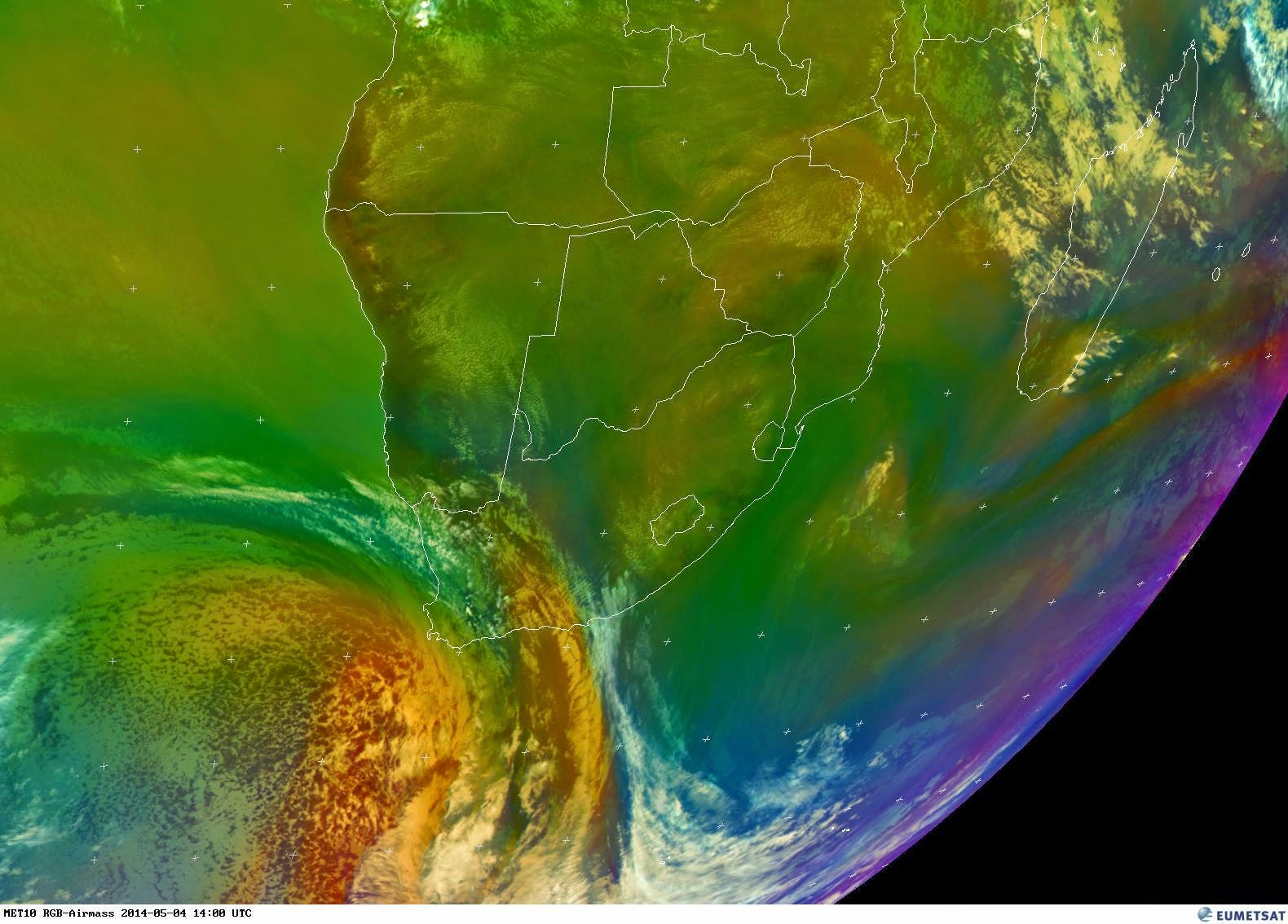
Images: Eumetsat + Wunderground (Click on image for larger view.)
The cold front started to move in over Mossel Bay and surrounding areas. The wind picked up and the clouds looks like it could drop rain anytime now. The temperature has dropped considerably and a jacket is now a necessity. As far as rain is concerned the current satellite images does not look promising at all. Light rain can still be expected in areas as predicted in my first post. With the lack of moisture the chances for snow also diminished. However the wind could be a real factor in this event. It is still early days but we still need to keep an eye on this weather system. We might just be in for a real windy winter storm.

