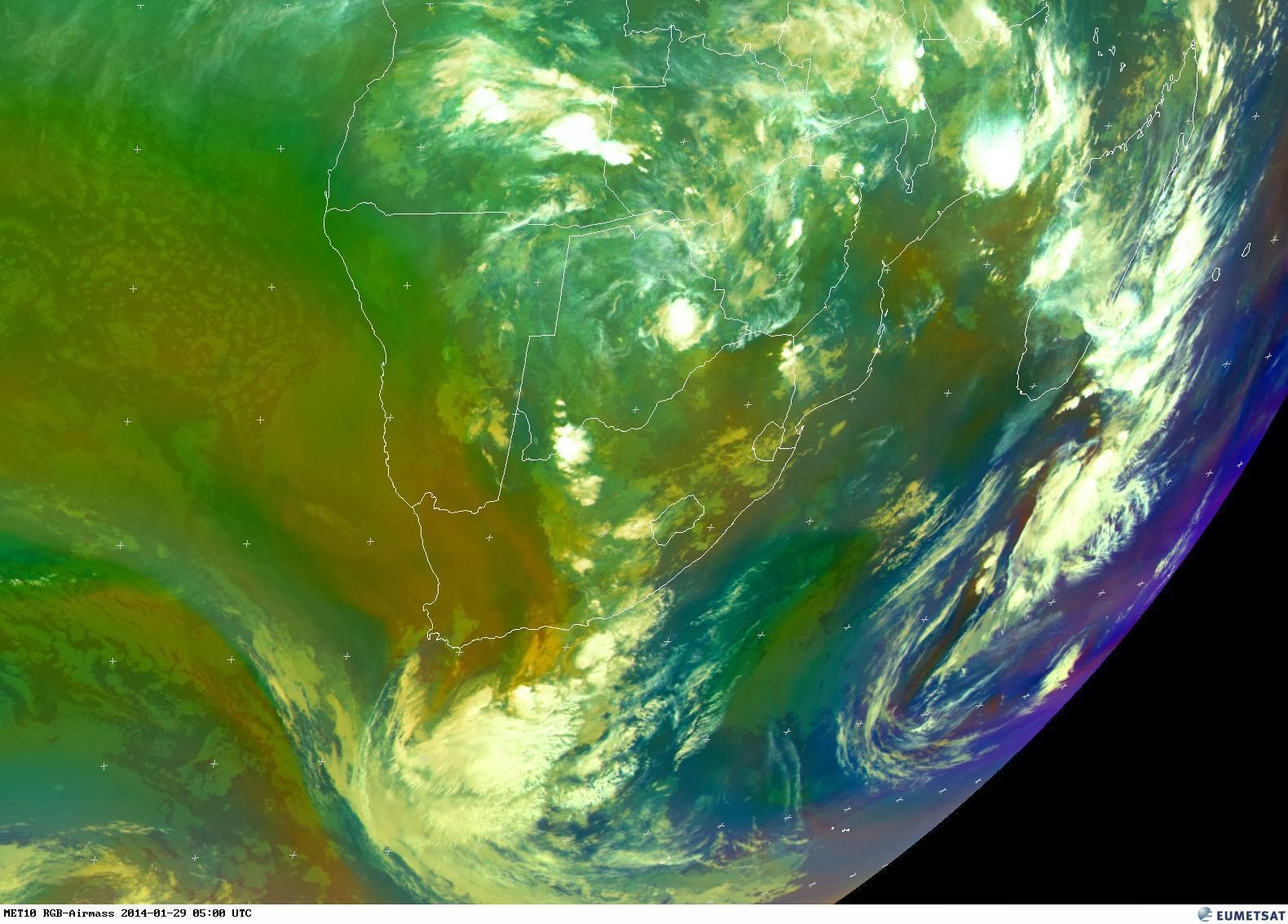
12mm of rain was measured in Heiderand, Mossel Bay. This rain fell in the early hours of the morning and brought some relief to the hot weather we experienced the past few days. This morning satellite image reflect that the upper air trough moved eastwards and is now situated over the Eastern Cape, Free State and North West. A large bank of clouds is also situated offshore to the south of the country but it would appear at this stage that this bank of clouds is moving eastwards away from the main land.
The latest prediction charts indicate that there is a possibility of light rain in parts of the drought stricken area of the Northwest Province. Let's hope that this area of the country receive much needed widespread rain in the next few days.
I am still keeping an eye on the current system. Although no cut-off low developed one should keep and eye on the weather as such systems in the past showed that mother nature and especially the weather has a will of its own.
- MSBWX