
The latest weather satellite images (SAT24) reflect the current conditions. Take note of the low temperatures that I predicted in the previous update. (Wunderground)


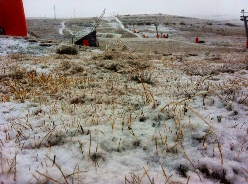
Light to medium snowfall were reported by Snow Report SA and Afriski via Twitter. Images courtecy Snow Report SA and Afriski.


I am of the opinion that we now have a fairly intense cut-off low system developing along the Southern Cape coast. This can now be clearly seen in the latest satellite image. We clearly have the "ingredients" for a cut-off low to dump heavy rain in areas of the Southern Cape and Eastern Cape. SAWXREP hereby upgrade the Flood Watch to a Flood Warning. More on this in a new post.

For those not familiar with cut-off low's: In short a cut-off low is a low pressure system that becomes 'cut-off', or severed, from the the main planetary circulation and spins off independently. Because it is no longer attached to the westerly pressure wave to the south, it loses all momentum and can just sit for days, or move very slowly before dissipating. Cut-off lows are associated with very strong atmospheric instability and powerful convection up drafts. They also bring a range of severe types of weather, including torrential rainfall, snow on the mountainous areas and violent winds. Cut-off lows are one of the main drivers of damaging floods in South Africa and can also trigger thunderstorms.
Weather Observers are hereby requested to report severe thunderstorms, heavy rain and other adverse weather conditions in their area of observation. Be alert and send observations to MSBWX as we will in turn publish the observations to the benefit of the general public on Twitter at @SAWXREP.
There is really no better way than real time weather observations by the public when it comes to reporting severe weather in an area.
Email photos and information by clicking HERE.
If you observe any strange weather or disaster send the info to SAWXREP for publication on Twitter.
Do not assume that SAWXREP knows for certain that severe weather has occurred in your area. Never assume that your weather observation report is not important.
- MSBWX